- Home
- About
- Team
- Contact
-
Categories
- Aggregate
- Agriculture
- Aircraft
- Attachments
- Cars / SUVs / Vans
- Computers / Electronics / Photocopiers / Office Equipment
- Construction Equipment
- Firearms And Accessories
- Forestry Equipment
- General Merchandise
- Heavy Trucks
- Jewellery
- Lifting And Material Handling
- Light Duty Freight Trailers
- Light Duty Trucks (1 Ton And Under)
- Oil And Gas
- Paving And Concrete
- Rail
- Real Estate
- Recreation
- Restaurant Equipment
- Salvage And Seized Vehicles
- Semi Tractors
- Semi Trailers
- Storage Wars
- Yard Care And Lawn Equipment / Lumber
- Auctions
- Locations
- FAQ
- Selling
- How to Pay
- Careers
Time Left:
Bidding History
- Loading . . .
Time Left:
Location:
RM's #001 - 622, SK
by placing a bid you agree to all
terms and conditions of mcdougallauction.com
Time Left:
Location:
RM's #001 - 622, SK
by placing a bid you agree to all
terms and conditions of mcdougallauction.com
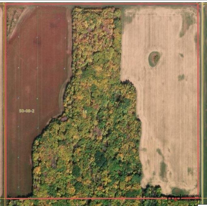
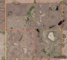
RM of Moose Range #486 - NE 16-50-08 W2 (158 Acres) - Crown Land Sale
Pick up location: RM's #001 - 622, SK
Lot: 1561
Listing Details
Features and Specifications
| Other Description: |
| Property Information: |
| Legal Land Description: NE 16-50-08 W2 |
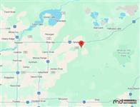
| GPS Coordinates: 53.318476, -103.105815 |
| ± 158 Titled Acres |
| ± 94 Estimated Cultivated Acres |
| Crown Conservation Easement: NO |
| Integrated Land Use - Crown Conservation Easement: NO |
| Ag Usage: Cultivation and Grazing |
| Livestock Water Source: No |
| Access to the property: All Weather |
| Crop History: Not Available |
| Improvements: None |
| SAMA Assessment: $197,700 - Please see SAMA Assessment below for additional information |
| Estimated Yearly Property Taxes: $1,370 |
| -------------------- |
| Additional Information: |
| The Ministry makes no representations, assurances or guarantees as to the amount, quality, potability, or fitness for purpose of any surface water, ground water, or water in any dugout, reservoir, channel or well situated on or under the premises. |
Lot Overview
| VIEWING:
Please go Direct, please use the Coordinates provided below for Google Map Directions to each property. For More Information, Please Contact the Real Estate Team at 1-306-271-1505 or by email at realestate@mcdauction.com Additional Information is available on each property, please check the bottom of this page for more information. |
Detailed Description
| Notice: At the request of the Ministry of Agriculture, the Crown Land Sale Auction is temporarily paused. Further information will be provided as soon as possible. |
Documents
Pick Up & Conditions
Terms
TERMS & CONDITIONS - Cash, Debit, Certified Cheque, Corporate Creditor Or Online Payments. (2.4% Convenience Fee On Credit Card Transactions) - Buyer's Fee of $1,500 per Lot. - Subject To Additions & Deletions.


